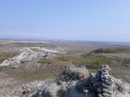
This year’s National Trails Day project will be held on June 3, at White Butte near Amidon, North Dakota. White Butte is North Dakota’s highest point at 3,506 feet. The High Pointers Club worked with the land owner to obtain an easement for a trail to the top of White Butte, Slope County improved the road to the trailhead two years ago, and since then visitation has soared. The trail to the top needs to be renovated and MDHTA was contacted to assist with getting the project done. A Recreational Trails Program (RTP) grant was applied for last spring by MDHTA and we received word this past April that the application was successful. Fortunately, the RTP grant will cover about 80 percent of the project costs. The other 20 percent will be shared with MDHTA and its partners in the project. The gravel for the trail is being supplied by Slope County. A lift gate, benches and a Kiosk are being provided by the High Pointers Club, and MDHTA will be providing volunteer labor to help match the 20 percent portion of the RTP grant requirement. At the conclusion of the work there will be a guided hike up to the top of the Butte.
We hope you will participate on June 3, from 10 am MDT to 2 pm MDT with the project. Lunch will be provided by MDHTA to all participants. In order to have sufficient meals and water available for all that help please contact Curt Glasoe at 701-260-9459 or email curtglasoe@ndsupernet.com, or Roger Ashley at 701-300-3315 or email rogerashley@ndsupernet.com by May 29. Please let us know the number in your party that will be attending. Dress appropriately for conditions and bring your work gloves. Directions to the White Butte are given below. If you have questions feel free to ask.
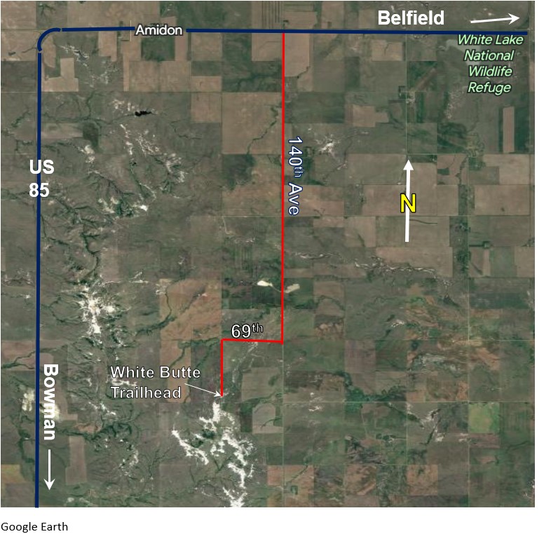
To get to the trailhead, turn off US Highway 85 between mile markers 43 and 44, about 2 miles east of Amidon, go south on 140th Ave SW 5 miles to 69th Street (this street may not be identified but there is a sign for White Butte). Travel 1 mile west, then turn south again for 1 mile. This road terminates at the White Butte Trailhead parking lot. White Butte Trailhead GPS coordinates 46.3958,-103.3003.