Additional information
| Weight | 5 oz |
|---|---|
| Dimensions | 9 × 4 × .5 in |
| Map | Little Missouri National Grassland, 2018 Maah Daah Hey National Recreation Trail, 2000 Maah Daah Hey Trail |
$20.00
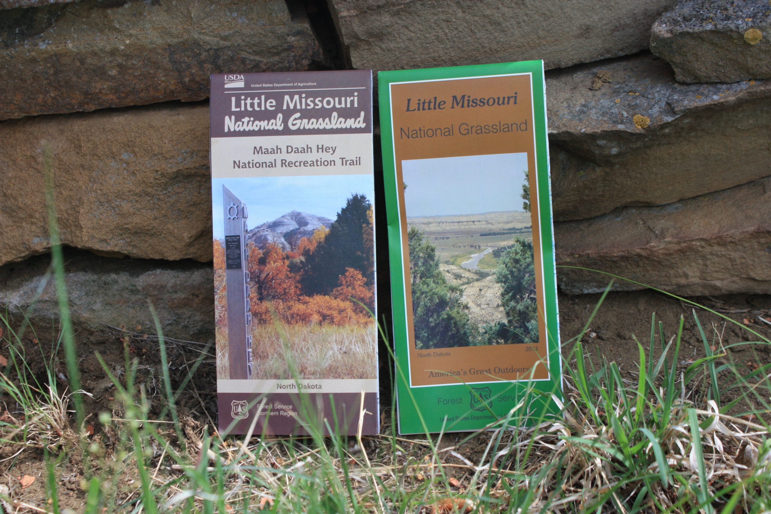
The Little Missouri Grassland map published in 2013, shows the entire Little Missouri Grassland as well as the trail system and roads in the badlands. This map does not contain trail elevation profiles, locations of mile markers and water cache boxes. This map is printed on poly paper.
The 2018 Maah Daah Hey National Recreation Trail map was published at the end of 2018 and shows the entire 144 miles of the MDHT (from burning Coal Vein to CCC)as well as other associated trails in the system. This map also includes locations of trailhead parking, points of interest, organized campgrounds, water cache boxes, all mile markers, an elevation profile as well as the designation of land managed by the US Forest Service, National Park Service, Bureau of Land Management, State of North Dakota and private. This map is printed on paper.
| Weight | 5 oz |
|---|---|
| Dimensions | 9 × 4 × .5 in |
| Map | Little Missouri National Grassland, 2018 Maah Daah Hey National Recreation Trail, 2000 Maah Daah Hey Trail |

Reviews
There are no reviews yet.