Nearby trails
Overview
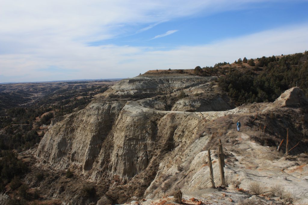
Devils Pass is a narrow ridge route that drops off over 150 feet on either side of the ridge between Mile Posts 100 and 101. It is a short hike of the west end of Forest Service Road 711. The closest campground is Magpie to the east. This makes for a nice day hike to this pass and back to the camp or the Magpie Trailhead. This pass used to be the main road through this area of the badlands before oil development in 1980. An alternate route was constructed to the north which negated this route for the road, so it was turned into the trail and provides one of the most treasured views of the MAAH DAAH HEY trail by its users.