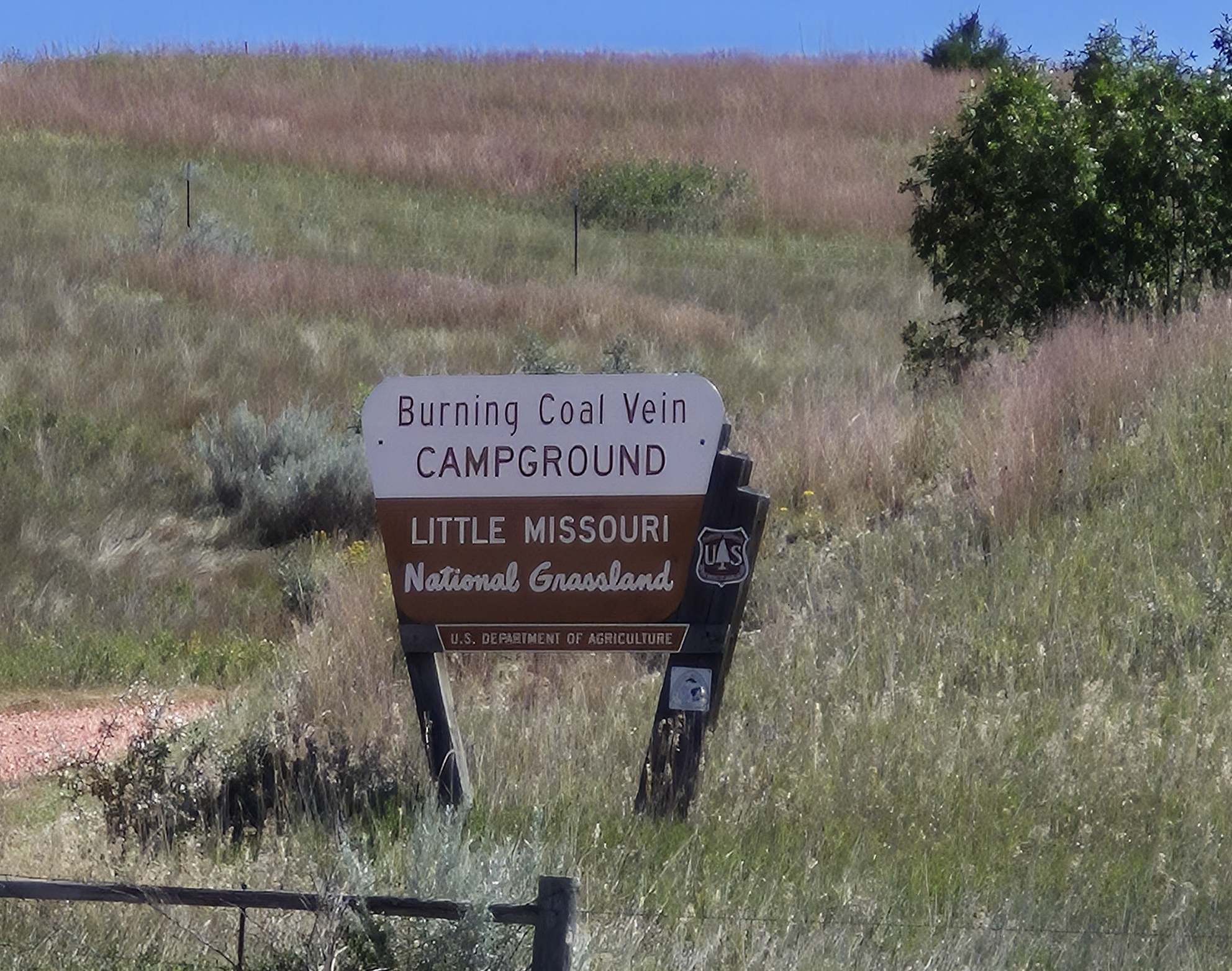
Directions
The campground can be accessed from Highway 85 approximately 10 miles south of Belfield by traveling 20 miles on gravel roads 767 and 742. It can also be accessed 14 miles northwest of Amidon. From Amidon, go west 2 miles on Highway 85 and turn onto the gravel road. Go west 1 mile and then turn north on road 742 and travel north 9 miles to the campground turnoff sign. The campground is 1 mile east of the sign.
Amenities
- 10-unit campground
- Fenced, with camping spurs including a picnic table, fire ring and parking area.
- Potable water via water well, hand pump
- Handicap accessible toilets
- The site’s namesake coal vein is no longer burning, but the site is a short walk from camp.
- The Columnar Juniper area offers a scenic lookout and short trail just south of camp.
- Nightly fee on U.S. Forest Service camps is $10,00 per site. Occupancy on first come, first basis